2005 Rainbow Gathering Near Elkins West Virginia
Click Here for the 2005 Howdy Folks
This year the 2005 National
Rainbow Gathering
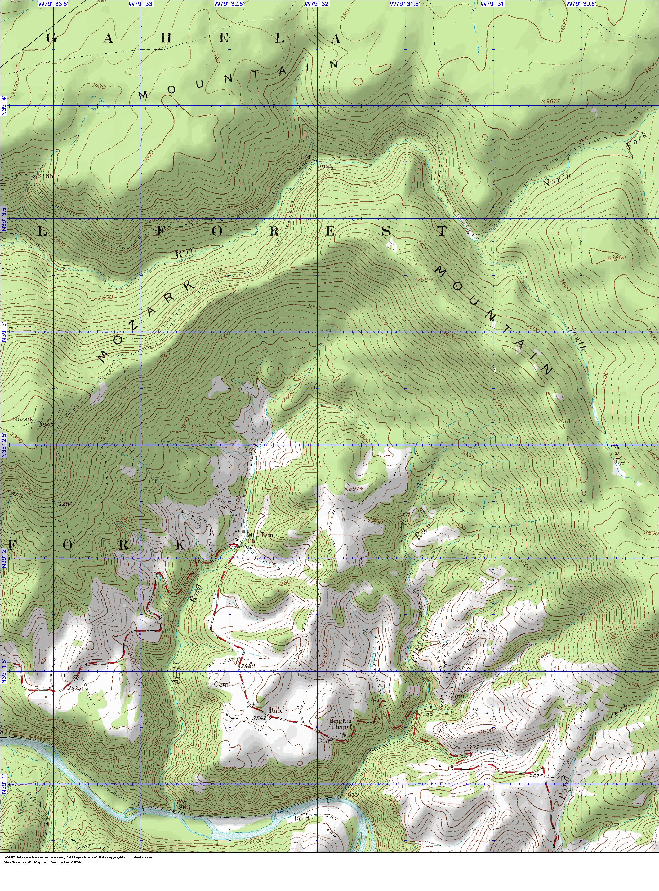
will be in the Mid Atlantic states, just east of Elkins West Virginia in the Monogahela National Forest.
Directions:
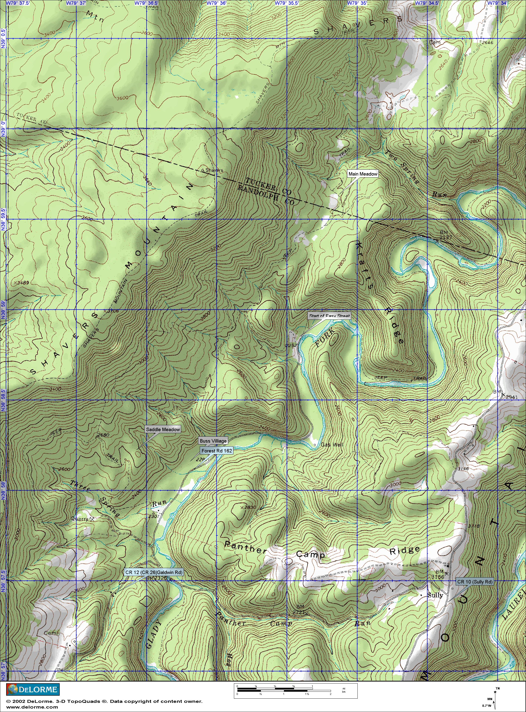
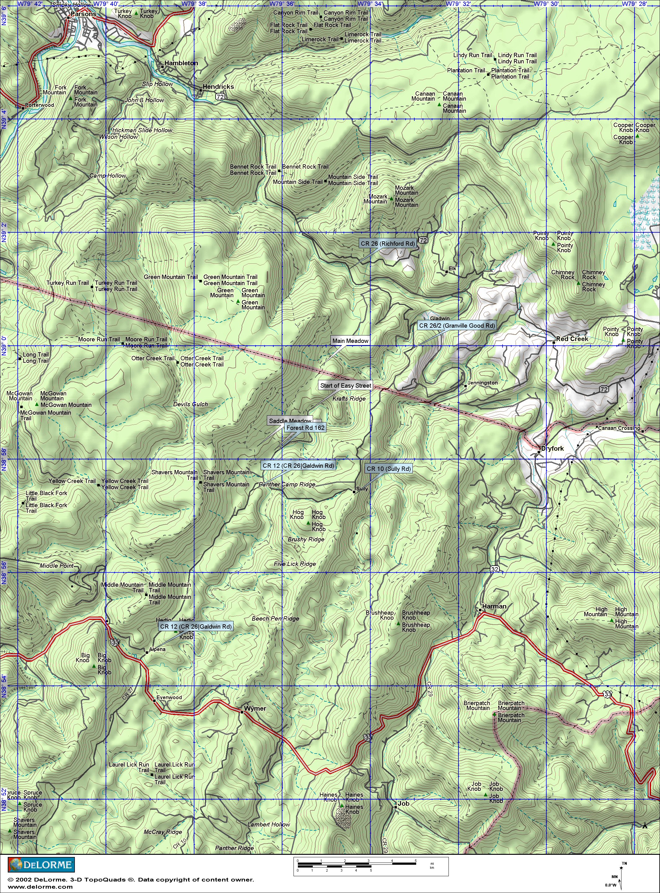
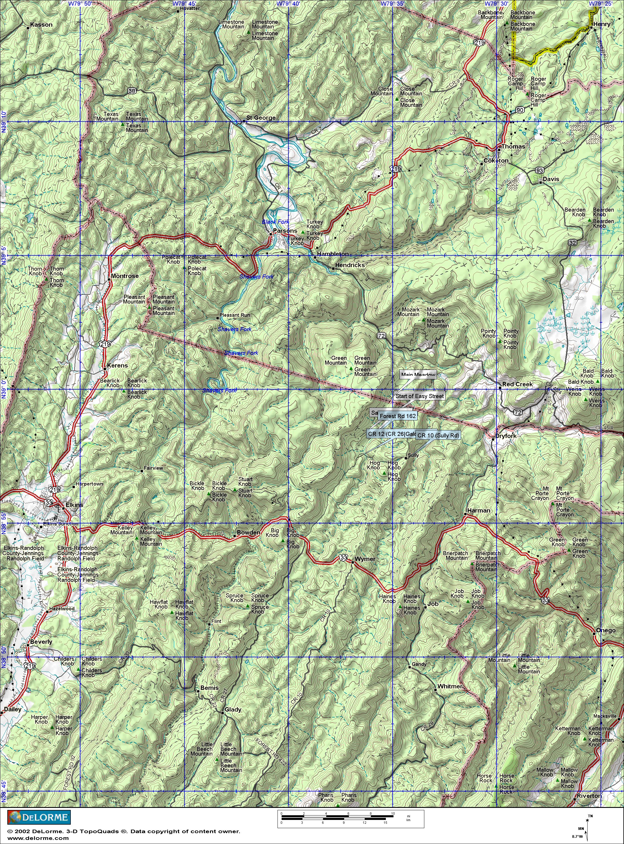
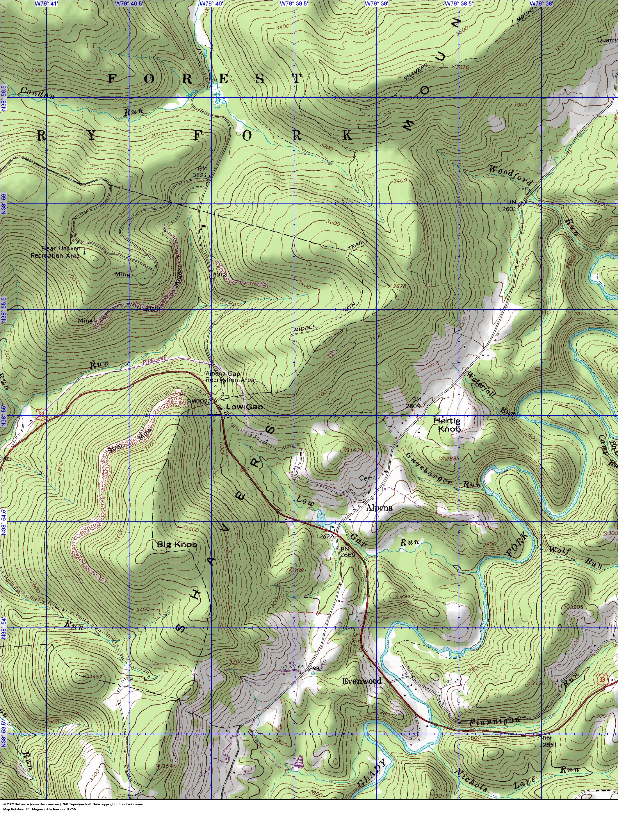
From Elkins, WV
take 33 east past Bowden to Alpena (approx.13 mi). At the Alpena Lodge &
Cafe (the only thing there) take a left (north) up County Rd. 12, also known as Galdwin Rd and
CR26 in some areas. CR12 goes thru the countryside and dives down toward the Glady Fork
(approx 5 mi). At the bottom of the hill, just before CR12 crosses the Glady Fork River & turns into
CR10-Sully Rd, take a hard (120%) left on to FR 162, which is Bus Village. Go to the gated end of
Bus Village (FR162). Just beyond the gate is a meadow on the left. At the back right of this meadow
is Easy Street, a gentle grassy ancient railroad bed, which goes off to the left. Follow Easy Street up
to Main Trail and take a right to Main Circle, which is the third meadow on the trail.
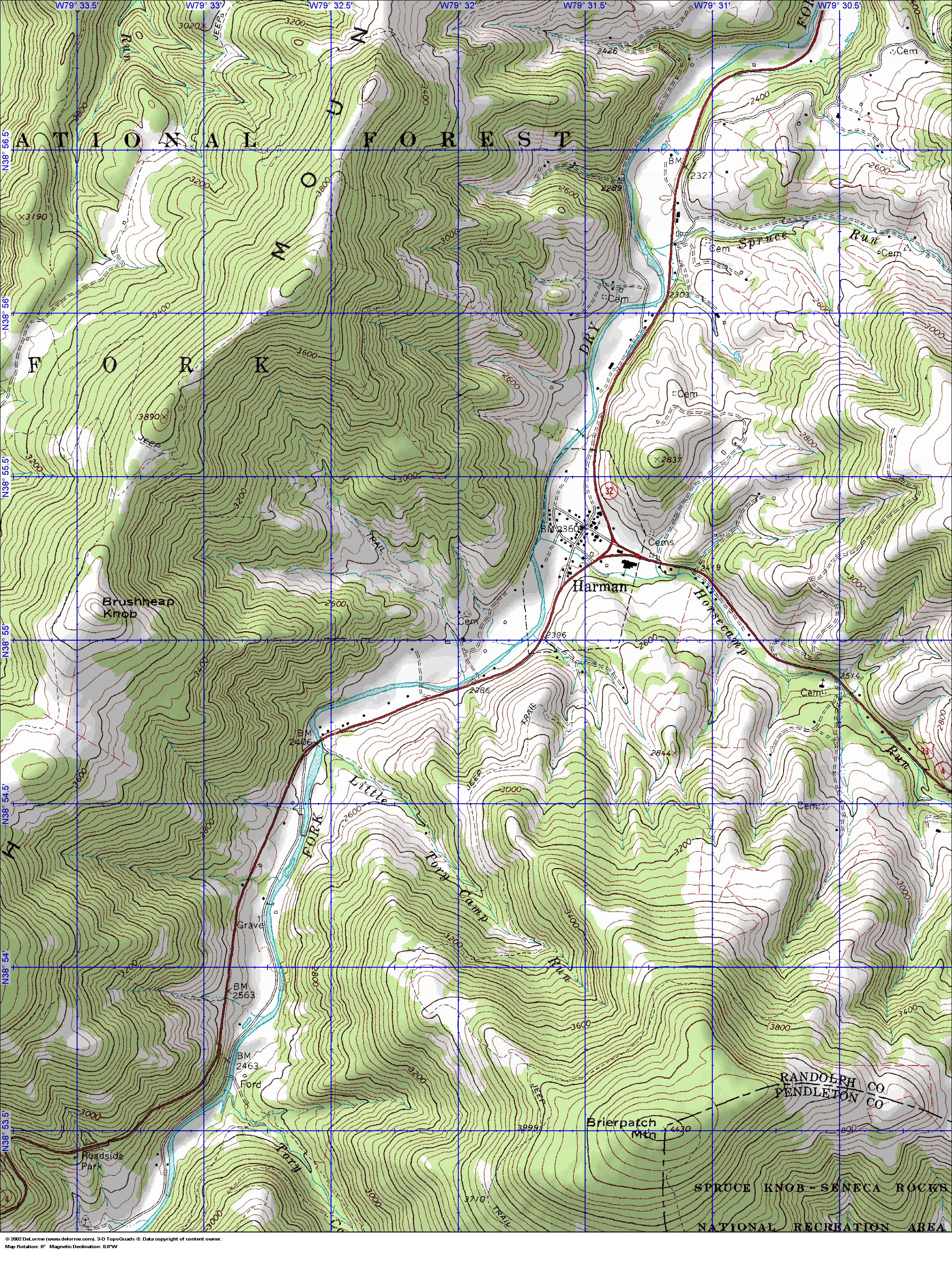
From the East, from Harrisonburg, VA take 33 west into Wavy
past Franklin, WV and Seneca rocks. Stay on US 33 past Wymer to Alpena, take a
right on CR12 and follow the above.
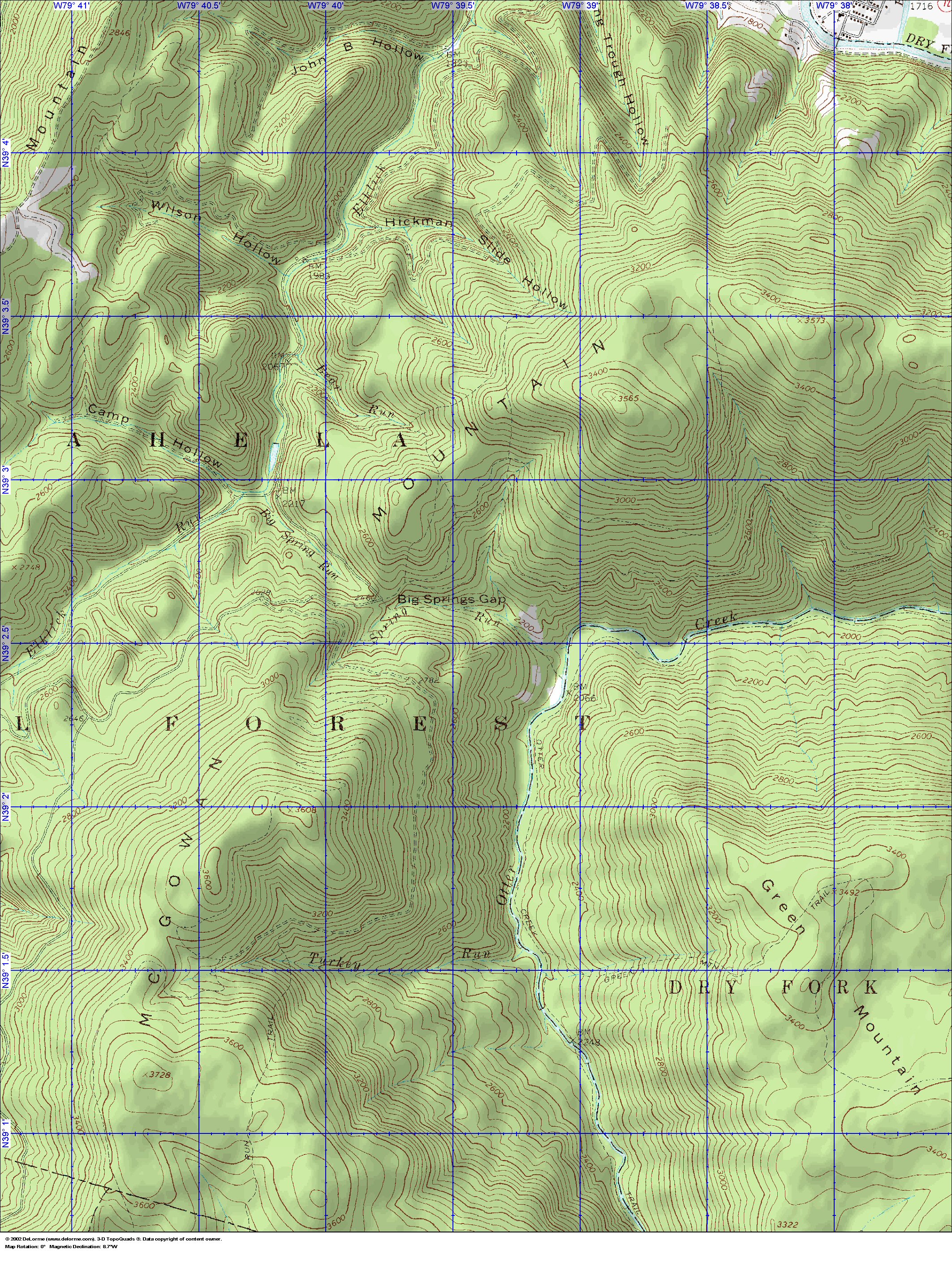
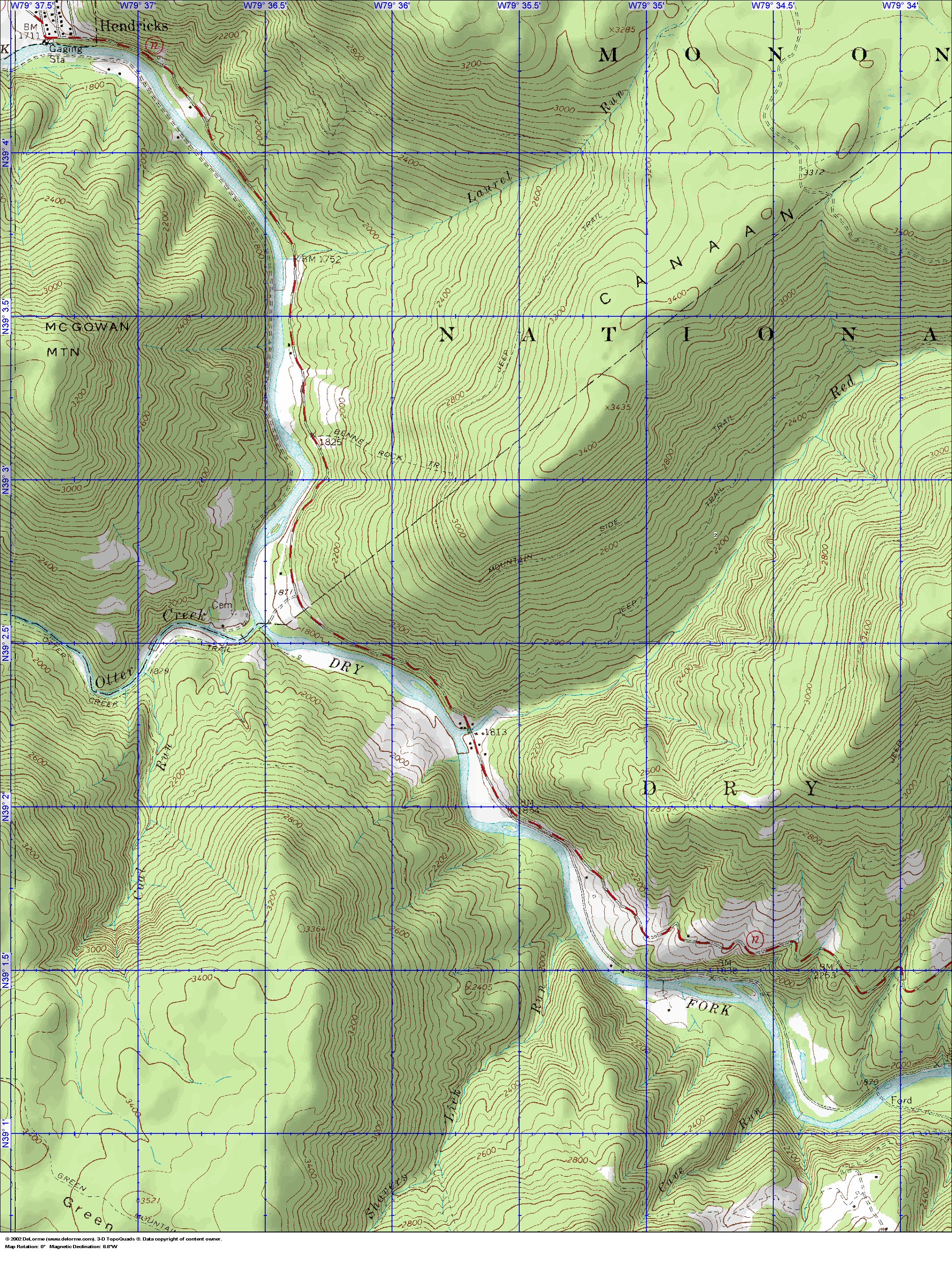
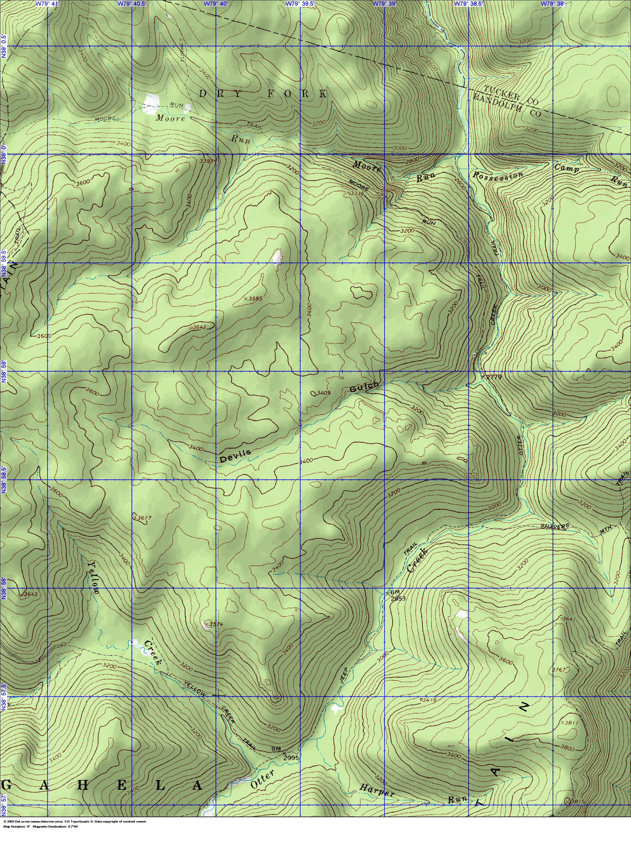
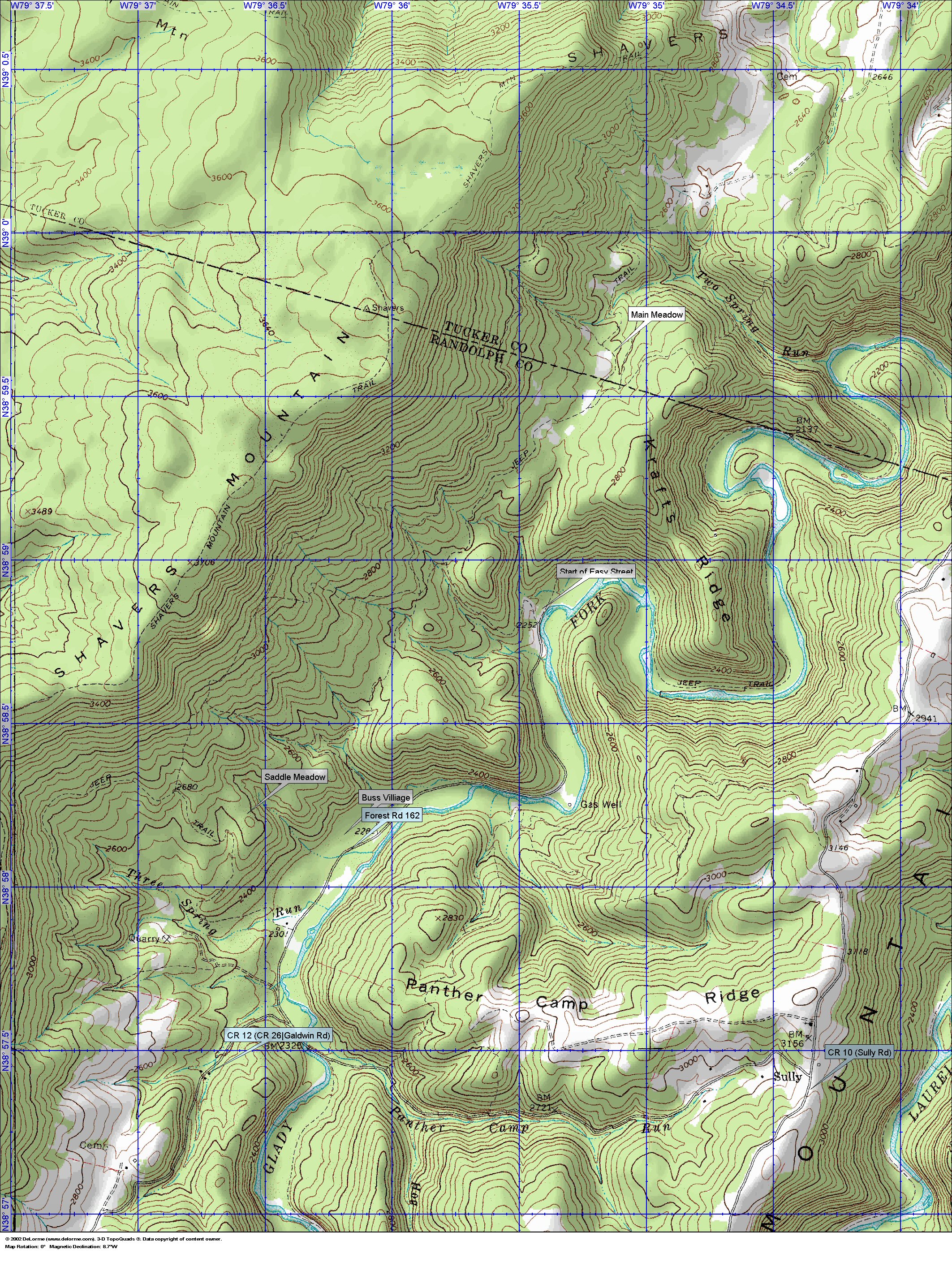
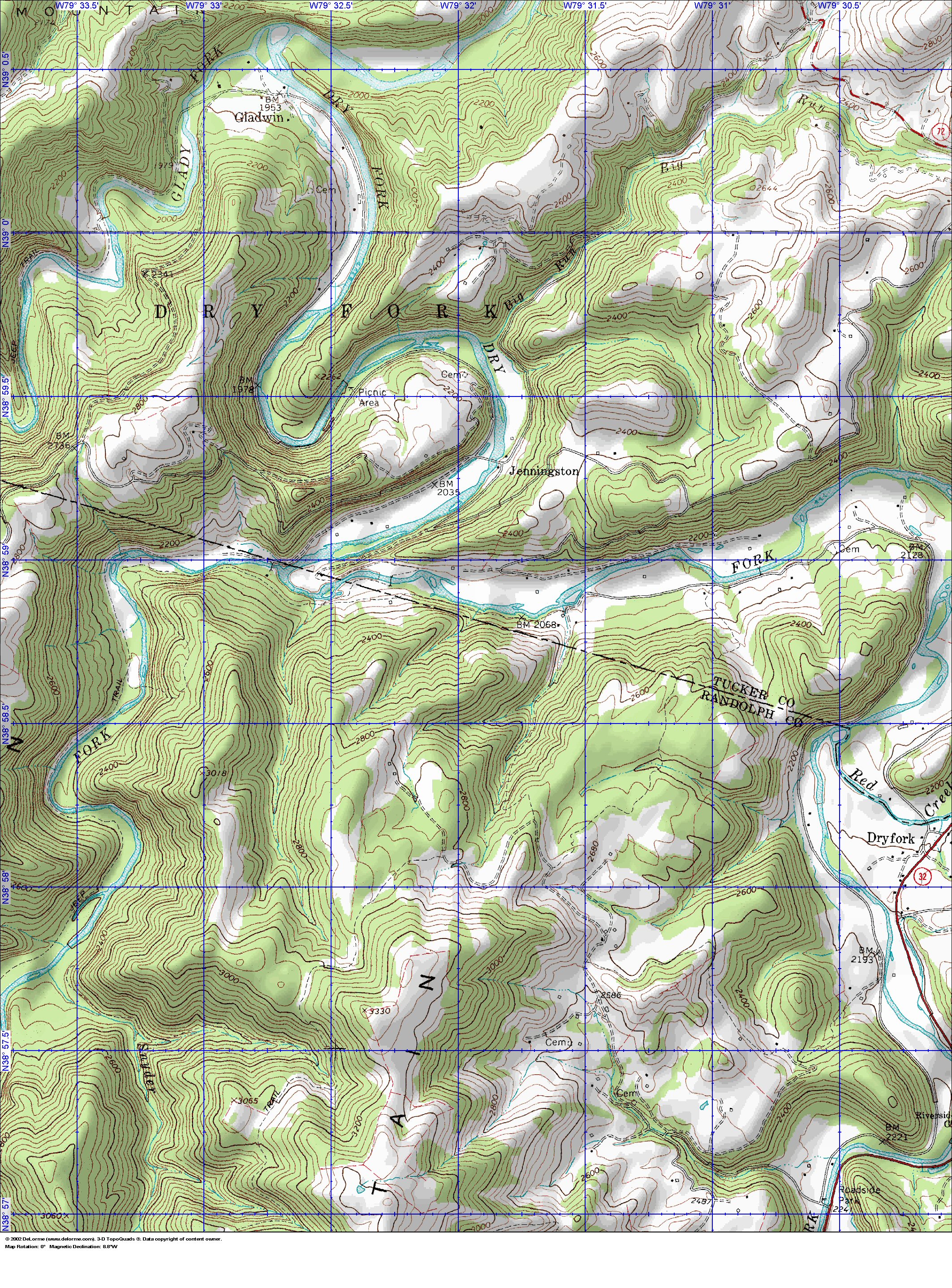
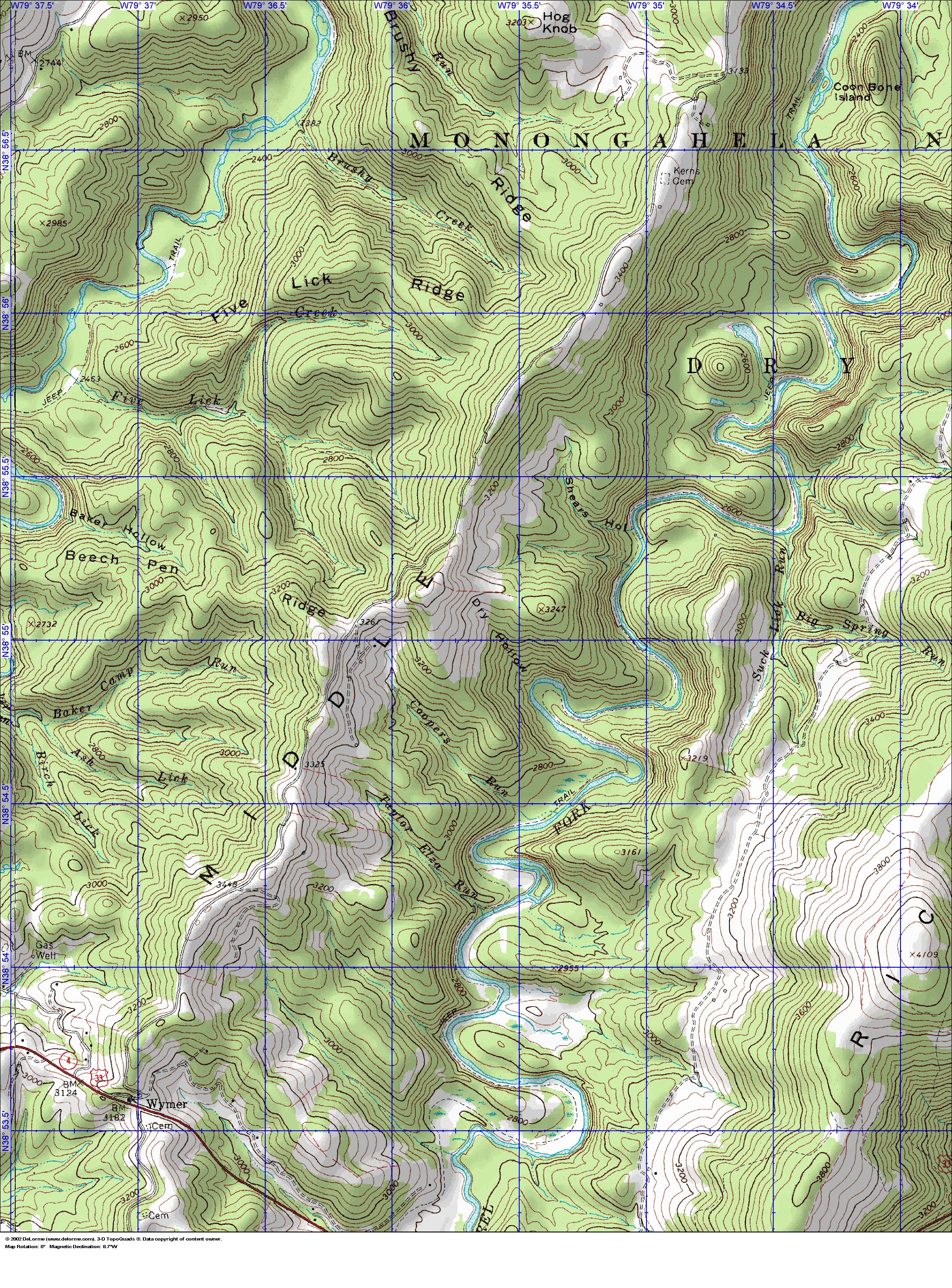
Below are topo maps of the site.
We are asking all kitchens that want to be connected to the main water line to bring the following items.
These items in total should not cost more than $50-$100.
Please help get this word out to all kitchens. If each kitchen brings a little it helps us all.
- 1-3 rolls (usually 300-400') of NSF rated 3/4" black poly pipe.
- 1 or more 3/4" plastic barbed T
- 2-3 3/4" plastic barbed couplings
- 1 or more spigots with 1/2" NPT male pipe threads
- 1 or more 1/2" Female NPT threads to 3/4" barbed insert
- 6-12 1 1/4" hose clamps
Pictures of the site are here
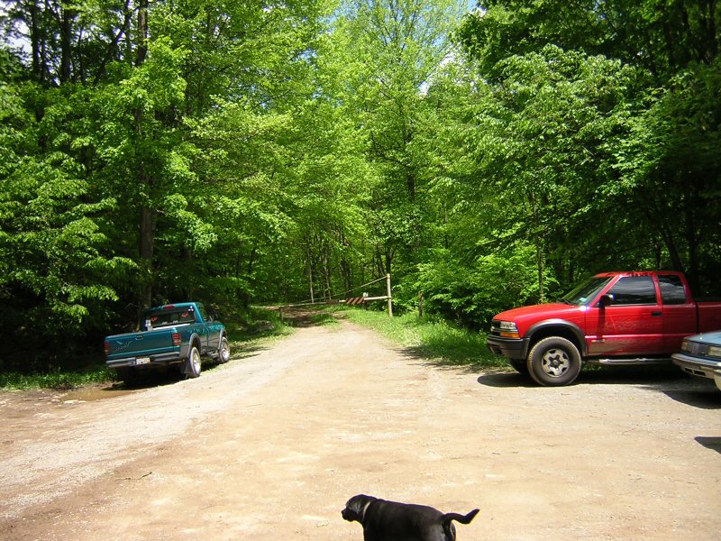
Front Gate From CR 162
|
Meadow just past front Gate
|
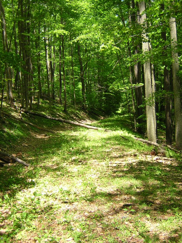
This is the Trail we call Easy
Street. It starts just past main gate and meets up with
Main trail, a gravel trail at the top.
|
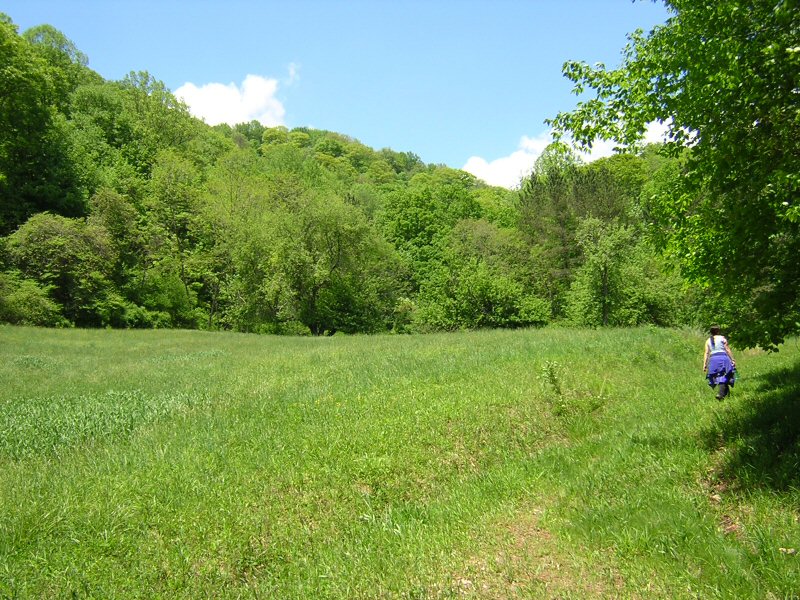
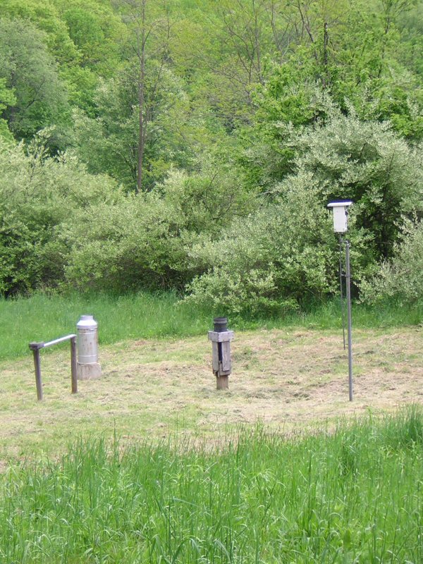
This is Milk Can Meadow. It is
the first meadow after Easy Street hits main trail. It is horse shoe
shaped with one long end and one short end. It is named because of the
milk can measurement aperatus shown below,
|
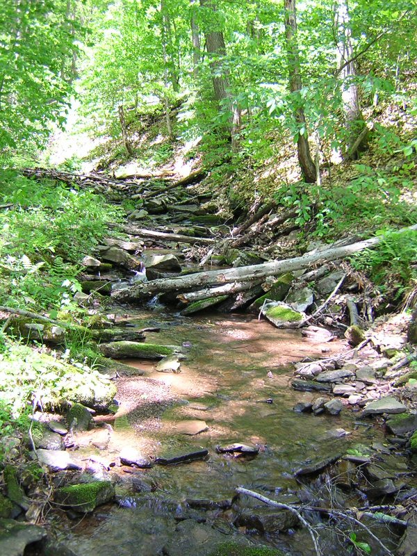 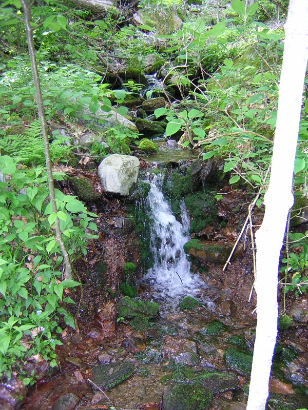
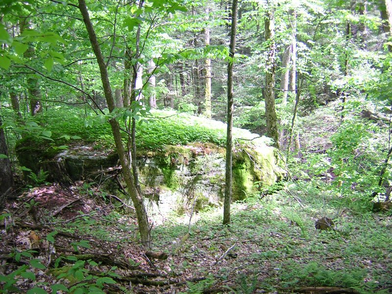
The site has water everywhere coming down from the upper ridges.
|
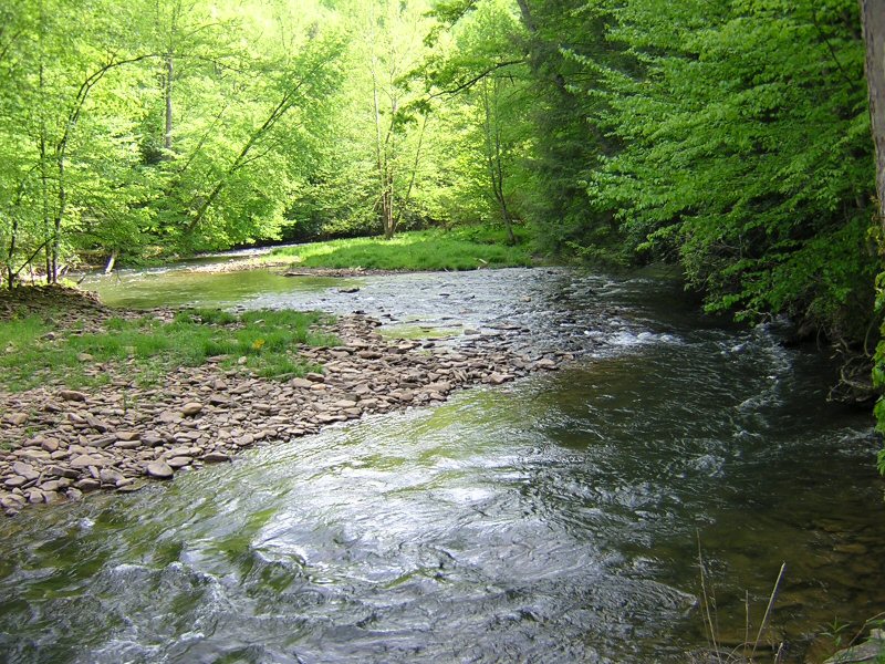
This is the river that follows CR162. Many spots are deep enough to swim in. The best just after main gate.
|
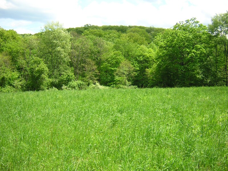
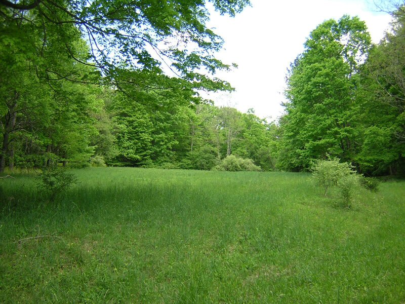
I Think this is main meadow. Main Meadow is the third meadow on Main Trail.
It is domed shaped. This picture
was probably taken from the middle of the circle as main meadow is much
larger than this picture looks.
Main Meadow is small, but not tiny. It is slightly larger than upper main meadow was in PA.
|
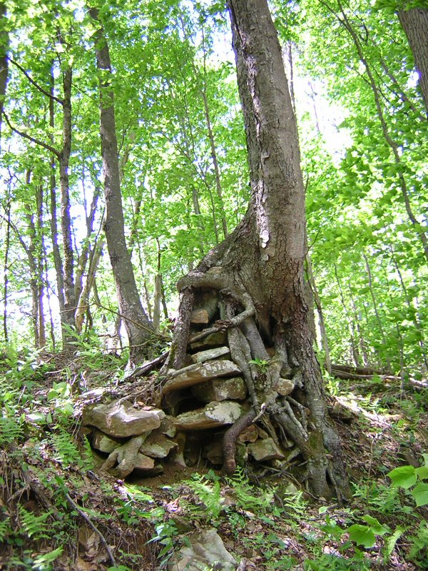
A Cool Tree just outside of Main Meadow.
|
Looking down near Bus Village
|
|
|
|
|
So what will it take this year to provide clean water for the family?
We need people and kitchens to bring supplies or donate money to purchase supplies.
A list of supplies is given later in this page.
If you want to donate $$$ you can do it here.
or by passing out this link http://tinyurl.com/cqdky
Now Quit-yer-bitchin and come together to pray and heal the
family on the land soon!
I love you all and will see you soon!
Hawker